-
DJI Terra – Agriculture Version, 1 Year
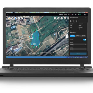
DJI Terra – Agriculture Version, 1 Year Capture, analyze and visualize your environment with DJI Terra – an intuitive, PC-based mapping software developed to help industry professionals transform real-world scenarios into digital assets. * Flight Planning: simply select an area on the map to create flight paths and automate complex missions. Waypoint Mission Planning: create […]
Open: Mon to Fri 10.00 -17.00 PM | www.professional-multirotors.com


